
Root mapping
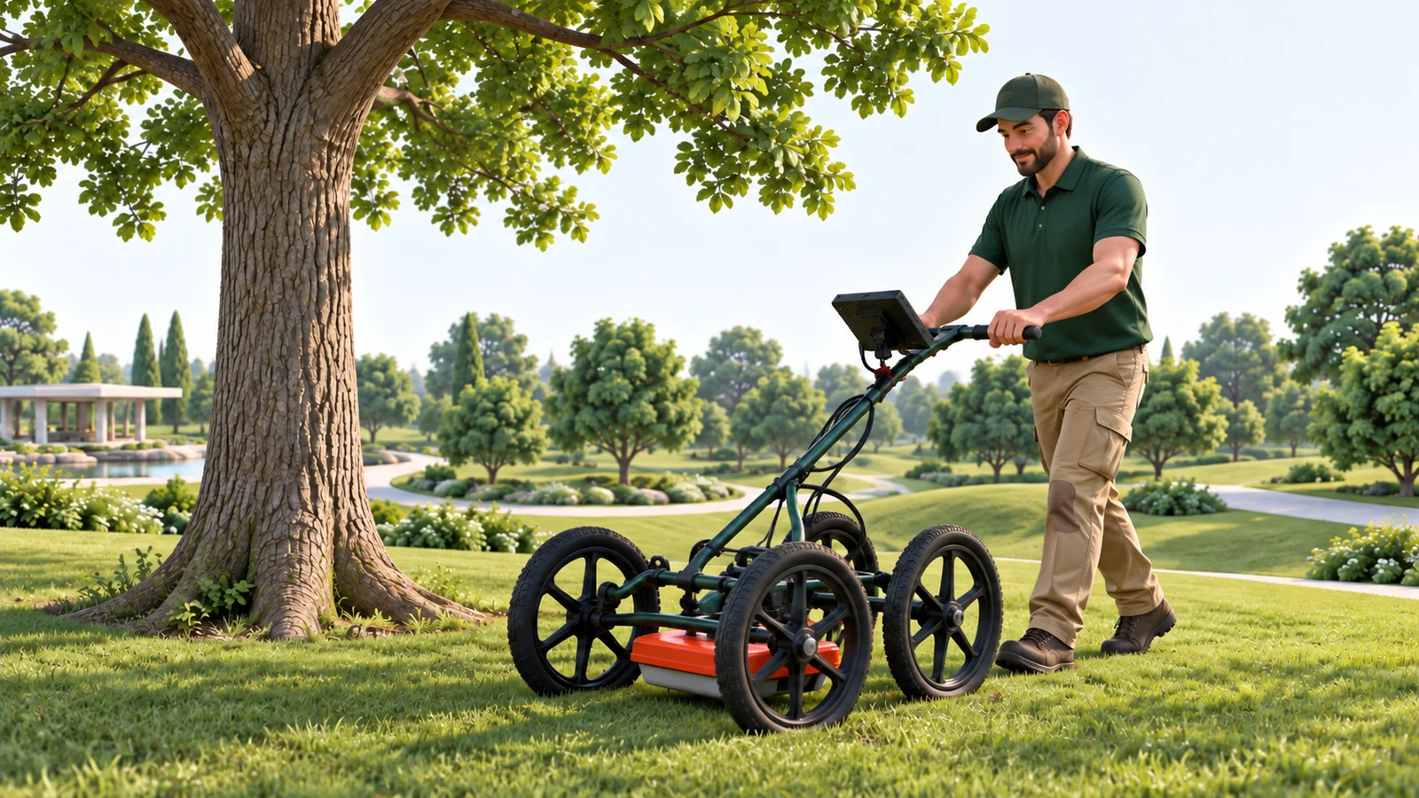
TreeRadar and other ground-penetrating radar systems help locate detectable roots within the area surveyed.
Diagnostics / Start with the question
Tell us what you need to decide. We choose the tests, explain the results, and recommend the next steps.
How the tools work
Choose a tool to see how it works, what it measures, and how the results help you plan care.
 Illustrated fieldwork
01 / In the field · TreeRadar · Root survey
An arborist pushes a radar cart along planned lines around the tree. The antenna stays in contact with the ground.
02 / The measurement
Radar signals reflect from changes below ground. The survey records where each signal returns.
03 / How it helps
Use the root map to help plan tree care, construction, or further checks within the area surveyed.
Illustrative equipment and measurements. The signal paths are illustrations. This is not an underground photograph or a map of every fine root.
Other ways to investigate
01 / Roots & growing conditions
Find out where roots grow and what affects them before planning care or construction.
TreeRadar and other ground-penetrating radar systems help locate detectable roots within the area surveyed.
Inspect where the trunk meets the roots. Check soil compaction and conditions around the tree.
Measure soil moisture and test soil and plant samples to investigate growing conditions and nutrient concerns.
What the results can tell youRadar provides evidence about the area surveyed. It cannot map every root or, by itself, tell you whether a tree is stable.
02 / Trunk condition & strength
Check the outside of the tree, the wood inside, and how the tree responds to forces such as wind.
Move a radar antenna around the trunk at selected heights to investigate the wood inside. The antenna stays against the bark.
Sound or electrical measurements help map differences in the wood across the trunk. An arborist explains what each map can show.
A fine drill records resistance as it passes through the wood. The result describes the path tested.
Controlled pulling tests and sensors that measure tilt help specialists study how a tree moves under load or in wind.
What the results can tell youNo single scan can tell you that a tree is safe. Its shape, wind exposure, condition, and the way people use the site also matter.
03 / Water, growth & stress
Track water use and growth to help understand how a tree responds to weather, its site, and care.
Sap-flow sensors track water movement. Dendrometers measure small changes in trunk size. Compare both with soil moisture and weather.
Leaf water potential tests help assess water stress. Chlorophyll fluorescence tests help assess how leaves use light.
Laboratories examine plant samples for suspected pests or disease. Tests may include PCR, which looks for genetic material from a suspected organism.
What the results can tell youA sign of stress does not tell you its cause. An arborist considers the species, weather, timing, and samples taken.
04 / Canopy & property surveys
Look across the property to decide which trees or areas need a closer inspection.
Map tree locations and keep inspections, test results, and recommended next steps with each record.
LiDAR uses laser measurements to map tree shape and canopy structure. Drone and ground surveys help show trees in their surroundings.
Thermal images show temperature patterns. Multispectral images record light in different bands. Repeat aerial and satellite images help locate changes to check on site.
What the results can tell youA canopy image does not tell you whether a tree is structurally safe. Image detail, season, and field checks affect what you can conclude.
Choose tests that answer your question
Before work begins, we agree what to investigate, who will do it, and what you will receive. The tests depend on the question and what is available at your site.
Talk to an arborist